
the marsh scape project
fraser river delta, british columbia, canada
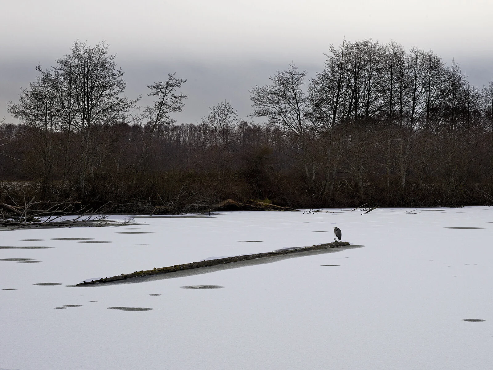
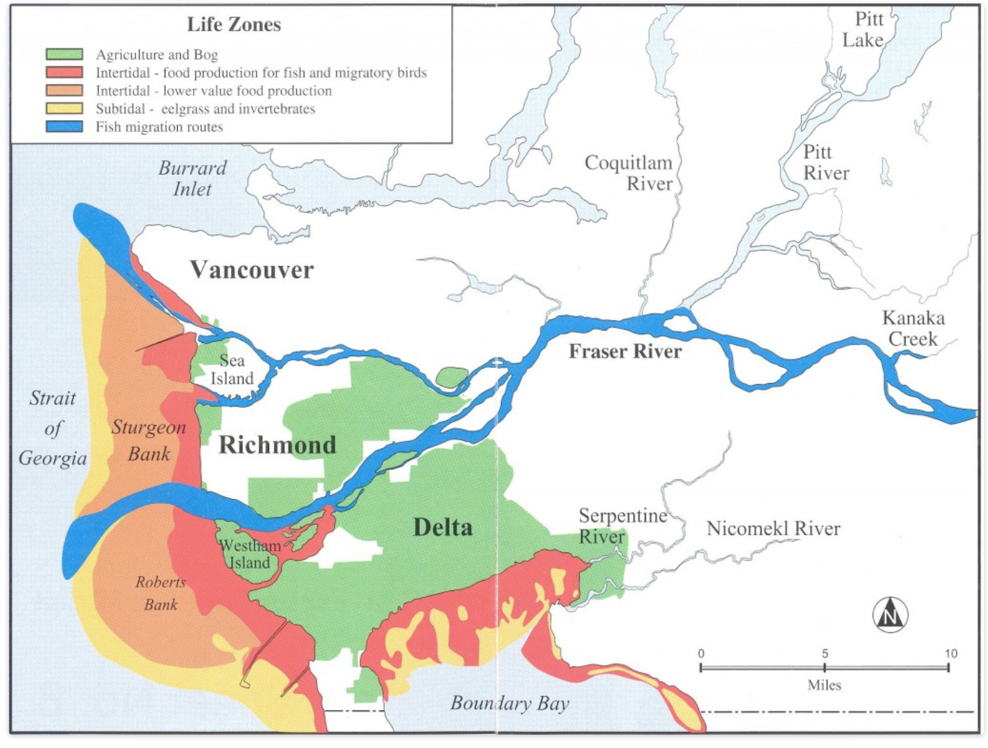
The Fraser River, the longest in B.C., flows into the Pacific through three distinct arms that traverse the Metro Vancouver Region and form a Delta with extensive estuarine saltmarshes, mudflats, floodplains, sloughs, and channels. The Delta is recognized as a critical migratory stopover area, providing feeding and roosting sites to about 250,000 wintering waterfowl and one million shorebirds. It also supports critical feeding and rearing areas for salmon.
READ MORE/LESS
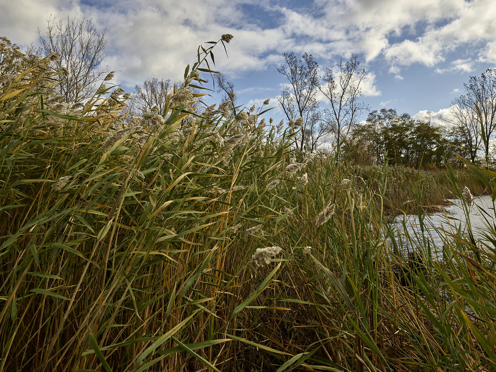
The Delta encompasses six important ecosystems: Burns Bog, Sturgeon Bank, South Arm Marshes, Boundary Bay, Serpentine, and the Alaksen National Wildlife Area. While some of these sites are used for low-impact recreation, most are reserved for wildlife habitat conservation and are managed by a network of municipal, provincial, and federal agencies and NGOs.
© Federation of British Columbia Naturalists
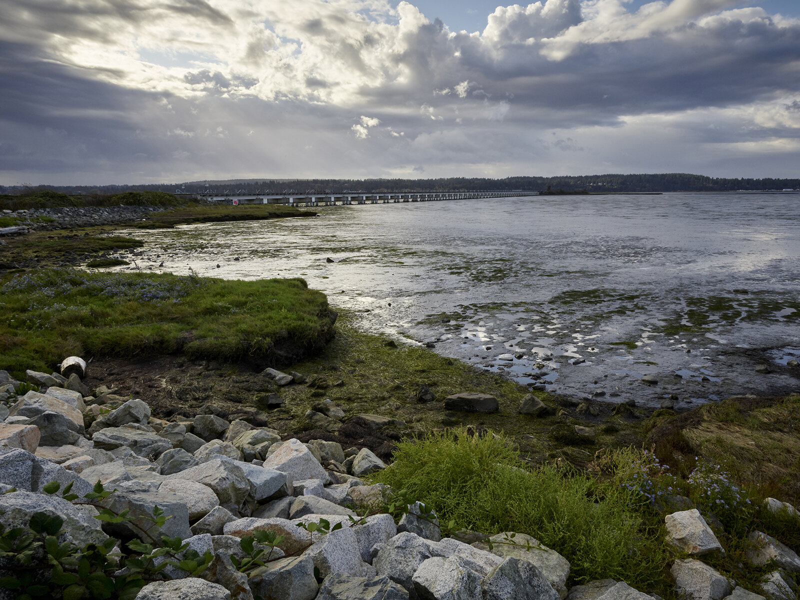
Much of the Delta lies below sea level and is protected by dikes that are prone to flooding during extreme storms and king tides. Preparing for sea level rise and extreme weather is a challenge. The extensive mudflat of Boundary Bay, is slated for a major infrastructure project, a second Roberts Bank shipping terminal. There is fear the new terminal will undermine the feeding areas for sandpipers, disrupting a significant Pacific coast flyway.
The Delta was first designated in 1982 pursuant to the Ramsar Agreement as a Wetland of International Importance. Today it encompasses 20,682 hectares.
Visit and donate: Birds Canada’s mission is to conserve wild birds of Canada through sound science, on-the-ground actions, public engagement, and science-based advocacy. The organization is active in the Fraser River Delta: https://www.birdscanada.org.